A biweekly right-of-way encroachment log, filed by mile marker.
Know what went into the right-of-way since the last patrol.
Pipeline Encroachment compares VHR imagery of your corridor every two weeks and logs new structures, excavations and crossings inside the right-of-way by mile marker.
- GSD
- ≤0.5 m (VHR)
- Cadence
- Biweekly
- Platform
- VHR satellite / aerial
- Spectral
- RGB
- Reported by
- Mile marker
01 The job today
The stretch nobody was looking at
The patrol flies the line on its schedule. The pilot notes a new barn, a skid steer parked on the easement, a cut across the ground where there was grass the last time. Between flights the right-of-way agents drive the access roads they can reach, and the rest of what the company knows comes in by phone: a landowner who saw a crew, a contractor's locate request, a neighbor who wants to know why there is a flag in the field.
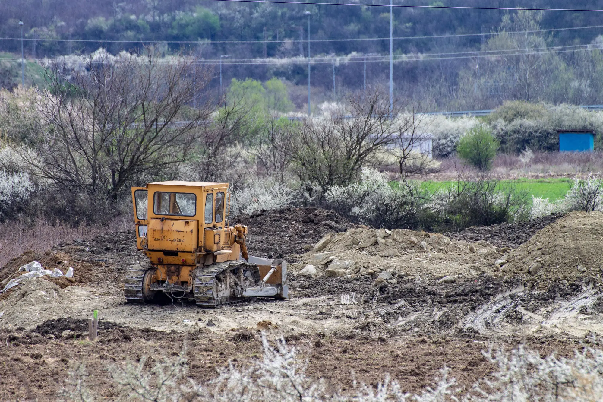
Every one of those becomes a line in the encroachment record against a mile marker, then a site visit, then a letter or an encroachment agreement. The cost sits in the gap. A foundation poured the week after a patrol passes is found at the next flight, or after somebody calls, and by then the concrete is cured and the conversation with the landowner is a harder one. Excavation is worse, because the thing you were trying to prevent is a third-party strike, and that is a dozer working over the line, not a barn.
A desk check on a fixed short interval does not replace the flight or the drive. It tells you which stretch to send them to first. Every two weeks you get the log of what changed inside the right-of-way since the last pass, filed by mile marker, and the patrol stops being the only thing that finds out.1
02 What you get
What arrives each cycle
2.1
Mileage-indexed encroachment log2
CSV and GeoPackage
One row per flagged change: mile marker, type, a before and after image chip, and the date of each pass. Open it in any GIS that reads a layer, or paste the CSV into the encroachment register. A new delivery follows each biweekly pass.
2.2
New structure flags3
Point or polygon
Buildings, sheds, pools, slabs and other fixed installations that appear inside the right-of-way buffer between two passes.
2.3
Excavation flags4
Polygon
Fresh ground disturbance inside the buffer: stripped topsoil, spoil piles, graded cuts and open trenches wide enough to see from above.
2.4
Crossing changes
Line
A new road, drive or utility route that crosses the corridor, flagged where it meets the centerline.
2.5
Carried-over segments5
List
Stretches the imagery could not see that cycle, because of cloud or haze, named by mile range so you know what was not checked. They roll into the next pass.
03
How it works
1
Send the corridor
Your centerline, the mile markers you use and the buffer width you treat as right-of-way. A route shapefile or GeoPackage is fine.
2
A pass every two weeks6
VHR imagery along the route, at 0.5 m or finer, taken when the sky allows.
3
Compared with the last pass
Each pass is compared against the one before, mile by mile, inside your buffer. A change that matches a structure, an excavation or a crossing is flagged. Vegetation growth and ordinary field work are not.
4
The log comes back
The log by mile marker, with image chips, and the list of stretches that were cloud-covered. You route entries to patrol or to the land agent as you do now.
04 Where it fits in your workflow
Between patrols
Use the log to decide where the next flight or drive goes first and which landowner letter gets written this week. The patrol requirement stays as it is. A flag is a reason to go and look, and the person who looks decides whether it is an encroachment under your easement terms, who owns it and what comes next.
05
Limits
- 1
Not a patrol
This is a desk check between patrols. It does not replace an aerial or ground patrol, and it does not meet a regulatory patrol requirement on its own.
- 2
Mile marker precision
A flag is placed from the imagery's own geolocation. That is good enough to send someone to the right stretch, and not survey-grade.
- 3
Footprint and location only
A flag shows where something is and what it looks like. It does not say who built it, whether they have an agreement or whether it is permanent.
- 4
Resolution floor
At 0.5 m a pixel is about twenty inches. A shed or slab shows. A narrow trench or a staked line of flags may not. Buried pipe, conduit and cable are never seen, only the scar that digging leaves on top.
- 5
Cloud and haze
Optical imagery needs a clear sky. A cloudy cycle leaves stretches unchecked, and they are listed so you know.
- 6
Every two weeks, nothing between
Biweekly is the target interval. Something built and torn down between two passes is not seen, and nothing here alerts you the day it happens.
06
Who it's for
For
- Right-of-way and integrity managers who answer for a defined mileage of corridor
- Land and right-of-way agents who work the encroachment register and write the letters
- Damage prevention teams who need to know where activity is before the next patrol
Not for
- Teams hoping to cut the patrol schedule or meet a regulatory patrol requirement with imagery
- Teams that need survey-grade positions or a legal boundary determination
- Teams that need to identify who built or dug something, or to monitor leaks, corrosion or pipe condition
07 FAQ
Questions before you register a corridor
Does this replace our regulatory patrol?
No. It is a desk check between patrols. The flights and drives stay on your schedule, and the log tells you where to send them first.
What counts as an encroachment?
A new structure, an excavation or a crossing that appears inside your right-of-way buffer between two passes. Crop growth, ordinary field work and minor grading are not flagged.
What happens when a stretch is cloudy?
It goes on the carried-over list for that cycle, named by mile range, and is checked on the next clear pass. You are never left guessing which stretches were looked at.
How precise is the mile marker?
It follows the geolocation of the imagery. That puts you on the right stretch of corridor, but it is not a survey and should not be used to settle a boundary.
Can you tell us who built it?
No. A flag has a footprint and a location. Ownership and agreements are in your land records.
How do we check it against our own records?
Send a corridor you already know well and compare the first logs with what your patrol and land agents found over the same weeks. Decide from that whether it is worth routing flags into your process.
Will it load into our GIS and register?
The log is a CSV and a GeoPackage, keyed to your mile markers, so anything that reads a GIS layer or a spreadsheet can take it. We don't write into your systems directly.
Who owns the imagery and the log?
Ownership and licence terms for the log and the imagery behind it are agreed before work starts. If your land or legal department needs to review them, ask early.
How is it contracted and priced?
Pricing depends on the mileage and the imagery source, and we quote it for your corridor. Tell us how you buy services and we will fit the start to that process.

Register your corridor.
Send the centerline, the mile markers and the buffer you work to. We will tell you plainly what the imagery can see on your route.
Get started